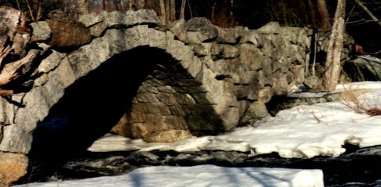
Local history is intimately linked with natural heritage. Historic districts and individual sites often reflect the availability of natural resources that supported economic activities and a way of life that may or may not continue to exist. Many times, they are associated with significant natural areas or open spaces. Documentation of historic resources in an NRI can broaden understanding of how a community developed, what makes it interesting from a historical perspective, and illuminate how land-use patterns today reflect patterns of growth in the past. New Hampshire’s landscape has many examples of historical features: saltmarsh and riverbottom farming, stonewalls in reforested hill pastures, granite, mica and gold mines, Native American settlements, and monuments and structures created from local resources, such as stone and covered bridges, and historic barns. Historic districts and sites establish a link with the past and help to provide a community’s sense of identity and stability. Prehistoric and historic archaeologic sites, such as Native American sites, also contribute to the understanding of a community’s past.
Basic NRI - What to Include:
The GRANIT database has several different types of information on historic sites, located in the Cultural, Society and Demographic category. This includes graveyards, the National Register of Historic Places and data for 13 towns along the Connecticut River corridor and several towns along the Route 16 corridor as part of specific studies that were conducted.
Detailed Inventory Studies:
Town libraries and local historic societies are often excellent sources of information. Communities may have a municipal historic society or local preservation organization that maintains archives. Historic tax records and old maps may show milling and other business activities that can give clues to historic sites. County maps were completed at various times in the 19th century. These show buildings, roadways, and other features of potential historic significance.The locations of locally important historic sites in the context of natural resources, e.g., mill sites, lumbering, farms, etc. can be digitized and added to the NRI maps once the information has been collected from local sources. Significant historic sites should also be listed and described in the inventory report.
Historic USGS Topographic maps can be viewed using USGS TopoView. Panoramic historic maps can be downloaded from the Library of Congress Panoramic Map Collection.
Information about local archaeological sites can be obtained from the NH Division of Historic Resources Given the sensitive nature of this information, the data may need to be generalized. Site specific information can only be obtained by getting permission from the State Archaeologist’s office. The level of detail included in the Historic/Archaeologic resources inventory will depend on both the availability of information and the goals of the natural resources inventory.
Additional Resources: