By definition, conservation lands are properties that are generally undeveloped and protected from future development in perpetuity with conservation easements. Mapping the study area’s conservation lands will help identify potential needs and opportunities for expanding these areas to provide links between protected areas, or to add protected buffers to sensitive areas. The Conservation Lands data can be used to identify priority resources currently lacking protection. The Conservation and Public Lands data layer in GRANIT includes a variety of public and privately-owned lands. Public lands may include federal, state, and municipally-owned lands. Note that public land ownership doesn’t necessarily ensure that land is protected in perpetuity. Similarly, lands held by educational institutions are not necessarily permanently protected.
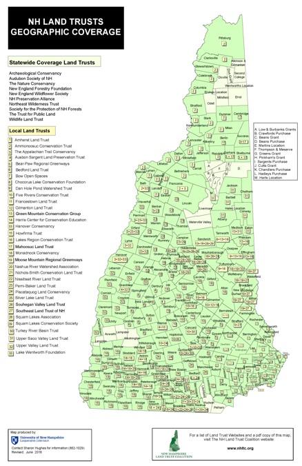
Land trusts are private, nonprofit organizations that protect land through a variety of voluntary methods, including outright purchase and conservation easements. A conservation easement is a legal agreement between a landowner and a land trust or government agency that permanently removes the development rights to protect a property’s conservation values. Government agencies and other groups can also hold conservation easements. To locate a land trust in your area, visit the Find a Land Trust page of the NH Land Trust Coalition website.
Basic NRI - What to Include:
Conservation and Public Lands is a data layer in GRANIT, and is also available in GRANITView. Refer to the GRANIT Conservation/Public Lands Standards web page for more information on the lands included in this data layer. Note that not all the lands shown in the “Conservation and Public Lands” data layer are permanently protected - this data also shows town-owned lands, lands owned by academic institutions, unprotected water supply land, etc. The data includes information on what type of protection is in place (e.g., conservation easement, fee ownership), type of ownership (federal, state, municipal, private), etc.
A community’s list of publicly-owned properties can be examined to determine what, if any, deed restrictions apply to the properties. Lists of town-owned lands can be found in annual town reports or in the list of properties, by owner, that accompanies the town tax maps. Conservation and Public Lands are mapped for the whole state, and the data that is housed on GRANIT is updated every 2-3 years. The accuracy of this data is dependent on communities, land trusts and others submitting accurate, updated information about conservation lands at the time of the updates. New Hampshire Land Trusts have up to date listings of their conserved parcels.
Basic NRI Maps
When displaying conservation lands on NRI maps, it is helpful to show these by protection type, e.g. fee ownership, easement, etc., or category, e.g., federal, state, town, or private ownership. This information can be displayed on a base map such as aerial photography or a topographic map base (see Conservation and Public Lands Map example in the Sample Map set). Conservation lands data can be overlaid onto other maps of natural resources, for example, water resources or wildlife habitats, to facilitate reviewing the location of conservation lands in relation to key resources - use the generic Conservation Lands category for this purpose. See the Wildlife Habitats Land Cover Map example in the Sample Map set). This can also help to show where opportunities may exist to connect existing conservation lands to create larger blocks of protected lands for conserving natural resources.
Data Layers for a Conservation and Public Lands Map may include:
- Aerial photograph or topographic map base
- Political boundaries, transportation and utility networks
- Lakes, Ponds, Rivers, Streams
- Conservation lands data (including detail on type of ownership)
Additional Resources: