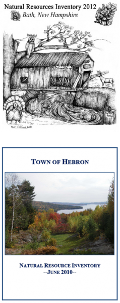
A natural resources inventory (NRI) compiles and describes important, naturally occurring resources within a given locality (e.g. a municipality, watershed, region or other locality). Cultural resources, such as historic, scenic and recreation resources are often also included in the inventory.
At its simplest, a NRI is the compilation and description of existing natural resources data. At its most complex, it includes detailed analysis of resources or new data collected specifically for the inventory. The NRI should be regarded as a living document - as new and revised data become available, it should be updated to ensure it stays current and accurate.
A NRI typically includes five parts:
Maps: Inventory maps provide a visual image of the location and extent (as known) of existing resources, such as forests, farmland, wildlife, wetlands, water resources, etc.
Data: It's more than just maps! Documentation of the data sources used for the maps/ inventoried resources helps facilitate future updates. Note that some data (e.g. vernal pools) don't lend themselves to display on a map and are best reported in the narrative.
Analysis: Collecting the data is just one piece of the NRI process. Analyzing the information can give greater meaning to the inventory.
Narrative: The written report describes the NRI goals and methods, provides descriptive summaries of each resource and the associated data, and summarizes the findings and recommendations
Until a NRI has been created, many communities don't have a clear picture of where their natural and cultural resources are located, which are significant and why. The compilation of maps, data and descriptions in the NRI contribute to a better understanding and appreciation of the community's natural resources.