Workshop summary Learn the basics of Geographic Informations System (GIS) and start making your own maps! This course will help you use GIS software to make maps in your community and beyond. Participants will gain insight into GIS software and explore a variety of free, relatively easy-to-use GIS programs. Useful as a comfortable first step for people with no GIS experience, as well as, for relatively new GIS users looking for more information.


Participants will learn the basic terminology of GIS | the steps required in a GIS mapping project | how to choose a GIS software | how to create and share basic online maps | how to add GIS data layers to maps
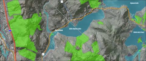
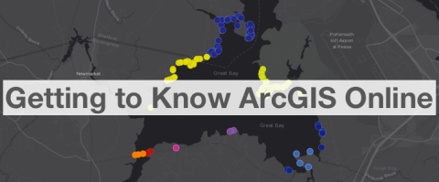
Software discussed Learn about GRANITView | Learn about ArcGIS Online | Learn about ArcGIS Desktop | Learn about QGIS | learn about gvSIG
Length 9am to noon
Dates February 3, 2026 | April 22, 2026 | June 3, 2026 | Register for September 1, 2026 workshop
Format REMOTE - students attend via Zoom
Cost $99 standard | $59 reduced
Cost note reduced rate applies to educational, non-profit, and governmental participants
Contact content - email Shane Bradt or call +1 603 862-4277 | logistics - email Jen Adie or call +1 603 862-1029
Suggested background

Related Links
Contact

