This workshop is no longer taught. Please see the NH Stone Wall Mapping webpage.
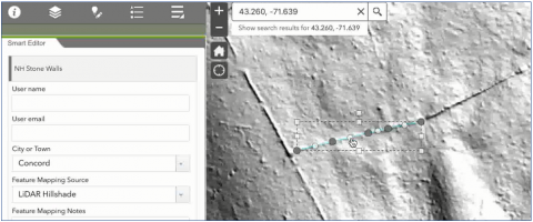
Workshop summary The NH Stone Wall Mapper helps people throughout NH to add stone walls to a GIS database, thus allowing these historical features to be better understood and appreciated. However, once stone walls are added to the map to volunteers using the NH Stone Wall Mapper, how do we know the lines on the map represent actual stone walls on the ground? This training focuses on the process of editing and confirming the stone walls added to the map by others. This process of data curation will ensure the map of stone walls is as accurate and useful as possible.


Participants will learn the basics of GIS data maintenance | how to edit stone wall data submitted by others | tips and tricks for confirming stone walls on LiDAR images
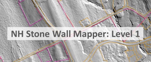
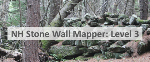
Software discussed NH Stone Wall Mapper
This workshop is no longer taught. Please see the NH Stone Wall Mapping webpage.
Suggested background
Suggested next steps
Related Links
Contact

