How to Find Local Food in New Hampshire
Extension specialists have created three new maps to help residents locate food resources near their homes.
The COVID-19 pandemic has both increased the need for food resources and created an environment in which they are more difficult to obtain. In response, food-access sites, farmers and fisheries around the state have stepped up to meet the needs of their communities. Many organizations have altered schedules and site locations during this time.
Food Access Map
The New Hampshire Food Access Map shares information about food pantries, food alliances and public health centers. In addition to free or low-cost food, the map indicates where essential personal items (such as toothpaste, soap, diapers, deodorant and toilet paper) can be picked up as well as where donations can be dropped off and where volunteers can help their neighbors.
The food access map provides information about the methods of access—either pick-up or delivery. It also indicates kinds of food available such as prepared meals, ready-to-eat food, non-perishable foods (canned, boxed, dried) and perishable foods (fruit, vegetables, bread, dairy, eggs, meat). Contact information, addresses, instructions about pickup times and eligibility requirements are also provided.

Farm Products Map
Extension has teamed up with the New Hampshire Department of Agriculture to gather and display farm listings from across the state in an interactive online map, making it easy for farmers to update their information.
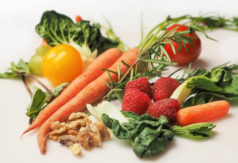
Connecting farmers directly with consumers allows for curbside pick-ups or delivery methods that maintain physical distancing, while providing local, nutritious food to New Hampshire communities. In addition to food essentials like meat, produce and dairy, farmers can list other offerings like cut flowers, hay, compost, seedlings, soap, candles and more.
Extension’s online map includes farm locations and contact information, farm-preferred methods for relaying product, marketing updates to the public (websites and social media accounts), payment options, alternative purchasing locations, purchasing incentives/food access programs (such as SNAP, senior discounts or veteran discounts) and product category listings.

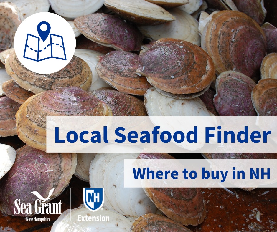
Local Seafood Finder
Extension and NH Sea Grant have compiled information about where to find local seafood around the seacoast so you can support local businesses. The map includes storefront locations, off-the-boat purchasing opportunities, where to buy oysters and active Community-Supported Fisheries (CSF). Like Community Supported Agriculture (or CSA) for farmed produce, a CSF is a model of selling seafood directly from boat to plate. Some options even allow for home delivery.
Related Resource(s)
Author(s)
