I Like iHike
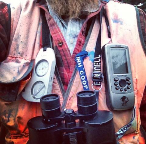
When I’m out for a walk in the woods I usually find myself wearing my field vest loaded with the typical forester gear: plenty of pencils, a couple of sharpies, notebook, prism, compass & clinometer, flagging, increment borer, maybe a topo map, survey or aerial photography and always my GPS unit. I say, “always my GPS unit,” not because I use it every time I’m in the woods or because I can’t find my way back to my truck without it. It’s with me because my GPS unit is also my smart phone. This shouldn’t come as a surprise to a lot of people. Our smart phones are way more than a phone for us nowadays. They’re our cameras, notepads, computers, calendars, flashlight, favorite TV show provider, music collection …. You get the point, they do a lot. I’ve tried a few GPS apps since deciding to abandon my handheld Garmin GPSmap 76Cx. I’ve come to rest on iHikeGPS for the iOS operating system.
iHikeGPS provides the typical functions you would come to expect from a handheld GPS unit. The app provides the opportunity to download any USGS topographical map in all 50 states. I used it all the time on my recent vacation to California’s Sierra Nevada Mountains. You have access to other maps as well like U.S. Forest Service maps for National Forests and parts of Canada. The app will create and store waypoints, record and store your track, calculate enclosed area of a track (helpful when measuring areas in the forest), provide a trip timer with odometer and allows you to navigate and follow a tract or route or to a waypoint. All of this is on the phone and you have the benefit using the touch screen rather than the clumsy rubber buttons most handheld GPS units have. I find naming waypoints and navigating the menu options to be much faster with the phone than the handheld GPS unit. With the handheld you have to scroll through letters to name a point rather than just typing on a QWERTY keyboard on your phone. Of course the touch screen advantage would be the same for any smart phone GPS app. The compass works in the app but I use my real compass when it matters—the real compass doesn’t run on batteries.
After a day in the woods, I’ll transfer the tracks and waypoints data from iHikeGPS to my laptop simply by emailing the GPX file (I use ArcMap for mapping) to myself. This is done in the app and it allows you to email, text, store to the cloud, or share any data you want. This is quite handy if you’re sharing a location with a friend or coworker. All you need to do is send them the waypoint or track file through the app and they can import it into their own phone. If you use Google Earth for mapping, the option to transfer your data in the form of a KML file is in the app as well.
Recently, I was walking a property with another forester and he unknowingly dropped his handheld GPS unit while were making our way through the woods. After going our own ways, he realized it was missing. I was able to simply take a screenshot with our track on a topo map and text it to him so he could follow it to search for his GPS. If I was using a handheld unit, I would have had to go back to the office, download the track on to my laptop, make a map with a topo and our track and email or text it to him. Not the end of the world, but with the app, I just took a screenshot and texted it to him and he was on his way to find his GPS, which he did.
There are some limitations to using a smart phone as your GPS. As a forester I find myself in all conditions. Rain can pose a problem but with a good Ziploc bag and the right coat, I haven’t had to dry my phone with rice yet—knock on wood. Also, newer phones are much more water resistant then older ones. Cold is the other problem. With the handheld units, the big buttons can be used with gloves on. The touch screen needs the screen to skin contact so you’ll find at least one of your hands exposed when using the app. For the most part, it’s a short period of time since using the app is faster with the touch screen.
Overall, I don’t miss my handheld GPS. My smart phone is already something I’m taking into the woods so if there is an opportunity not to carry something else, I’m all for it. The speed of using iHikeGPS and the ease of transferring data is what has kept me using the app. It’s allowed me to not be fidgeting with a GPS unit and get back to work or watch a pileated woodpecker make a living on a snag.
Author(s)
